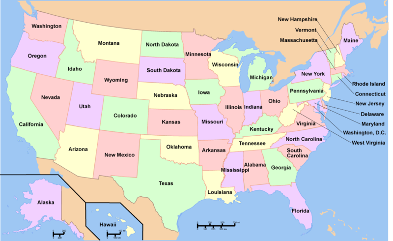
File:Map of USA with state names.png
Jump to navigation
Jump to search


Size of this preview: 800 × 490 pixels. Other resolutions: 320 × 196 pixels | 974 × 597 pixels.
Original file (974 × 597 pixels, file size: 57 KB, MIME type: image/png)
File history
Click on a date/time to view the file as it appeared at that time.
| Date/Time | Thumbnail | Dimensions | User | Comment | |
|---|---|---|---|---|---|
| current | 12:08, 28 August 2012 |  | 974 × 597 (57 KB) | Patricia Barden (talk | contribs) |
- You cannot overwrite this file.
File usage
The following 29 pages uses this file:
- BREATHE Act
- Black Mountain (Kentucky)
- FRESHER Act
- Independence Complex
- Logan County Complex
- Long Beach Oil Field
- Long Fork
- MC Mining
- Marcellus Shale
- Nicholas Energy
- Rawl Complex
- Red Lodge
- Rhino Energy
- Sandlick Loadout
- User talk:Patricia Barden
- Template:USA imagemap state names coal
- Template:USA imagemap state names existing coal mines
- Template:USA imagemap state names existing coal plants
- Template:USA imagemap state names existing coal waste sites
- Template:USA imagemap state names fracking
- Template:USA imagemap state names proposed coal mines
- Template:USA imagemap state names proposed coal plants
- Category:Coal waste
- Category:Existing coal mines in the United States
- Category:Existing coal plants in the United States
- Category:Existing coal waste sites in the United States
- Category:Fracking
- Category:Proposed coal mines in the United States
- Category:U.S. state coal profiles